
Concern over "soil health" has recently been rising as a public priority. Through its Soil Monitoring Law, the European Union has set itself the goal of achieving healthy soils in its member countries by the year 2050.This is no minor challenge; while climate change and human activity are accelerating its deterioration, it is estimated that it takes about a thousand years to form 2.5 centimeters of soil. That is, the soil is eroding faster than it forms, which is an obvious problem, given that this non-renewable natural resource is essential for life.
In this context, understanding the variations and dynamics that soil undergoes can facilitate the implementation of conservation measures that mitigate the loss of this resource. This is the objective of the study carried out by researchers from Spain, Brazil and the US using data collected between 1950 and 2018 in the 48 contiguous US states. Tom Vanwalleghem, a professor at the University of Cordoba who is part of the Agricultural Hydrology and Hydraulics research group in the María de Maeztu Unit of Excellence, within the Department of Agronomy (DAUCO), participated in the study.
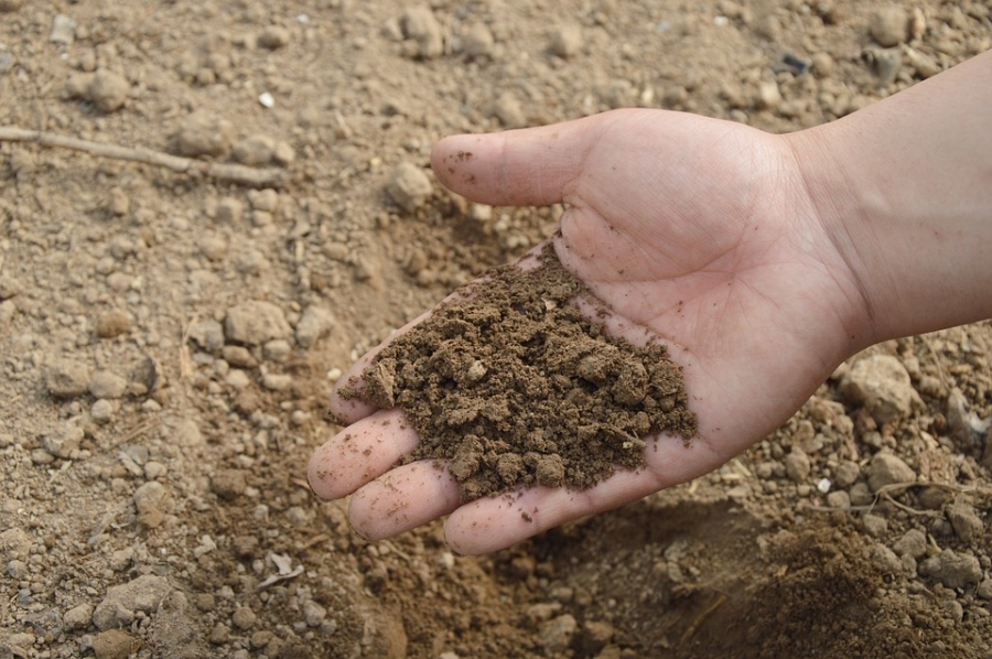
The researcher explains that soil depth determines agricultural fertility and controls the hydrological cycle and biodiversity. Thus, "knowing the variability of its depth is important, since it makes it possible to adapt agricultural management, such as fertilization or irrigation, and design soil conservation measures for each area."
The study is groundbreaking, as it is unusual for an erosion analysis to span so much time: 69 years, compared to traditional erosion studies that are limited to just a couple of years, such that they are unable to gauge long-term evolution, or the effects of extreme storms. This has allowed us to detect, for example, a significant loss of the upper layer of soil on the Great Plains, where one of the most productive soil types in the agricultural sphere, Molisol, predominates, as well as in sloped areas and in cultivation areas, in general.
To carry out the study, the spatial variability of the soil was analyzed using state-of-the-art statistical methods, such as Generalized Additive Models (GAMs) and Big Data techniques. In addition, the researchers analyzed a huge database of the depth of the "A Horizon" - the upper layer of the soil - and its total depth in 37,712 and 22,409 locations in the United States, respectively.
The breadth of this database, also studied over time, has also made it possible to analyze changes in the soil over those 69 years, determining that the depth of the "A Horizon" and the total depth of the soil are related to soil moisture and temperature, respectively.
Reference: Zhang, Y., Hartemink, A.E., Vanwalleghem, T. et al. “Climate and land use changes explain variation in the A horizon and soil thickness in the United States.” Commun Earth Environ 5, 129 (2024) Received 08 October 2023; accepted 01 March 2024; published 15 March 2024. https://doi.org/10.1038/s43247-024-01299-6